To recap, I retired last September from the Army and I am in the transition to my next career as an applied historian. I’ve worked at history part-time during my previous career but I need some serious upskilling. As part of my modernizing, I’ve taken an automated cartography course to make maps, and a military geography course to aid in structuring my book on the Civil war.
Now, I am in a Digital History course at George Mason University (GMU) this summer, to get and become familiar with the tools of digital history: the use of the internet, databases, and software as applied to history. The class is taught by a Ph.D. candidate and digital historian, Stephanie Seal Walters (see her Blog at https://stephanieanneseal.com/ ) which is also why there is this blog.
In a GMU summer session, they compress a semester into 5 weeks. There are two 4 and a half hour classes per week plus all the reading, research, and writing. Sounds tedious. It has been everything but that! Professor Walters has a gift for teaching. Anyone who can not only keep students engaged for 4 and a half hours in the summer but also has them wondering where the time went when class is over has a special gift. This observation is not just mine; I’ve heard from others in the class.
Three weeks in she has had us set up our own history blogs. Set up and use a class collaboration site. Let us leverage her Omeka site where we designed and implemented our own Little Odd History exhibits (I did an exhibit on the 1910 Burke Murder Trial in California). We’ve transcribed early American War department papers from a site that uses crowdsourced transcribers to make progress. (http://wardepartmentpapers.org/s/home/page/home ) Used optical character recognition (OCR) on a newspaper from the 18th century. Toured the GMU Special Collections and Research Center and observed archivists at work and discussed digitization methods and issues. (https://scrc.gmu.edu/ ) We are now on our way to putting together an online Story map. I’m going to show a journey from Germantown, Maryland to Louisville, Kentucky described in an 1836 letter my family found. We’ll end in two weeks with a review of using podcasts as digital tools of the historian.
On the letter for the StoryMap, it’s not totally clear from the letter when Edward left the Clopper farm or when he arrived at Louisville. But from the internal evidence in the letter, it appears he had just arrived, had traveled in pleasant weather to be outside, so I assume that the trip was in April 1836. Edward had been in Louisville for at least a week working. So, it’s probable he got his job Monday following the Thursday he arrived. He had a Stockton and Stokes ticket to Wheeling which would work for an overland mail stage. How he journeyed from Wheeling to Louisville is not stated in the letter, but because he uses the word passage, I assume it was by riverboat. Also, the speed of the journey supports a river travel argument.
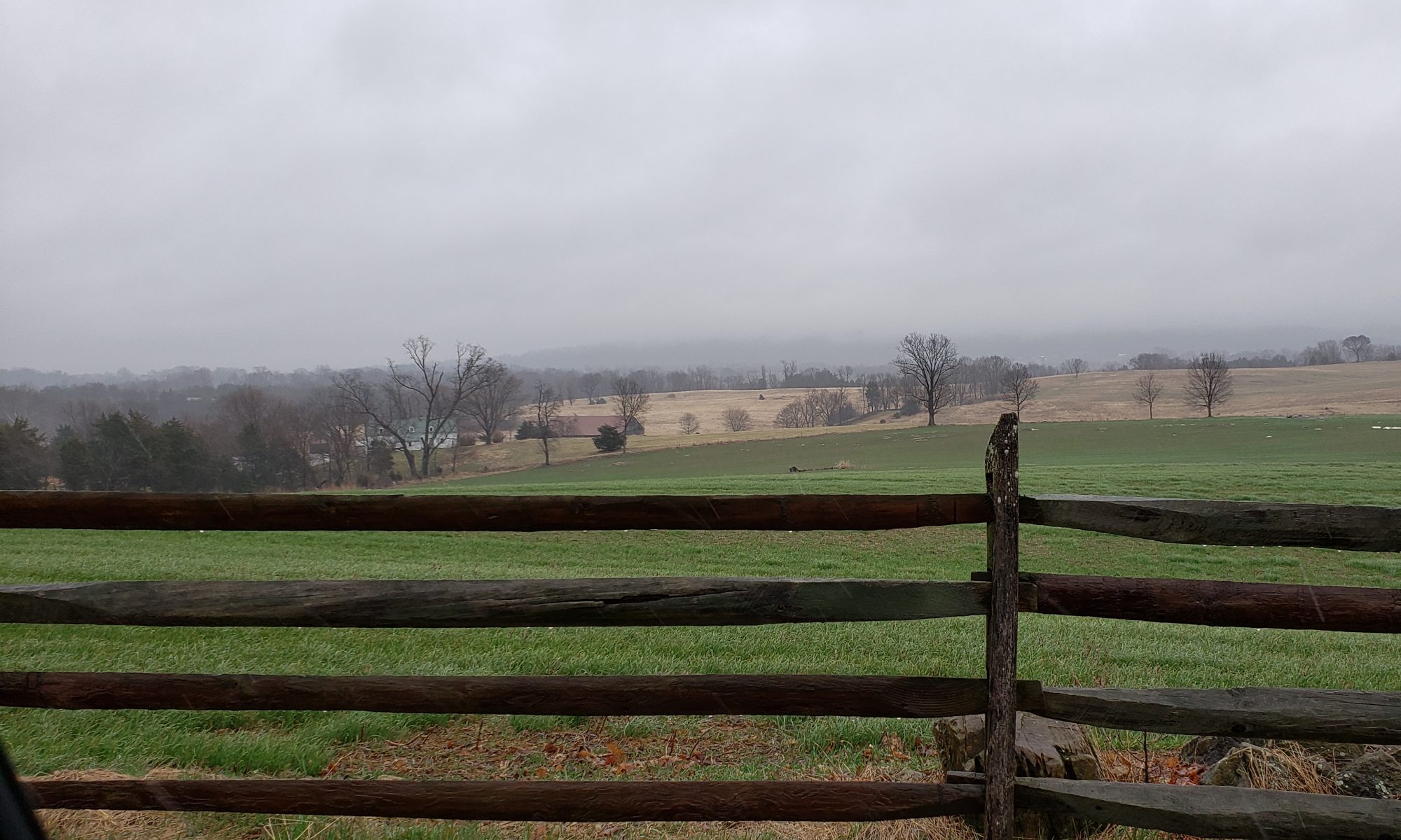
In 1836, Edward Hurley (1812-?) was a young man from a Philadelphia family. Little is known about him except that he was born in Philadelphia in 1812 to Thomas Hurley (1758-1817) and Mary Rogers (1768-?). One of his sisters married Chief Justice Roger Brooke Taney’s brother Augustus Taney (1787-1823). Edward lived with his older sister Catherine Hurley Taney (1795-1854) for a time after her husband Augustus Taney’s death. They were both guests on the Clopper farm next to her farm near Germantown, Maryland.
A letter from Edward to his sister Catherine was found recently in the papers of one of Catherine Hurly Taney’s descendants. I transcribed the letter and have permission to use it. The letter describes Edward’s journey from the Clopper Farm to Louisville, Kentucky in April 1836 and his initial activities in Louisville. For an online StoryMap, I propose to map his 1836 journey and highlight some of the locations that he went through along the way.
The letter mentions the Clopper Farm, Maryland, Middlebrook Post Office, Maryland, Hagerstown, Maryland, Wheeling, Virginia, Cincinnati, Ohio, and Louisville, Kentucky. I would add the river towns of Marietta, Ohio and Vevay, Indiana.
The narrative for each location of the Story map will describe some aspects of the place in 1836, or as close to 1836 as can be found. Travel is from a slave state through free states and to a slave state, which will be touched on in the narrative.
Probable Timeline
8 April 1836, Friday Left Clopper Farm by horse and went to Middlebrook. From Middlebrook, went to Frederick, and Hagerstown, and on to Wheeling by stage.
9 April 1836, Saturday Arrived in Wheeling
10 April 1836, Sunday Left Wheeling for Louisville by riverboat.
11-13 Aril 1836, Monday-Wednesday, somewhere within these dates, Edward stopped and visited friends in Cincinnati for 6 hours.
14 April 1836, Thursday Arrived in Louisville.
15 April 1836, Friday Catherine Taney wrote and posted a letter to Edward.
17 April 1836, Monday Got a job with Morton and Smith.
23 April 1836, Saturday Received a letter from his sister which took 8 days to reach him and Edward wrote the letter we have and finished by midnight.
And that’s it for the StoryMap portion of this blog post.
Although this post is probably too long, these blog posts of mine have been both assignments and a mechanism Professor Walters uses to get us to think about what we’ve been reading and doing and to get used to sharing it near real-time with the world.
This week as we approach mapping, we’ve read Sarah Bond on using digital mapping to understand the history of racism. Bond notes that although the topic has been covered before with manual maps and analysis, digital mapping helps bring together disparate and scattered archives and make them accessible to a larger public than ever before. Both points make sense. However, the example of the Placing Segregation project and the map illustration provided demonstrate the pitfalls in providing visuals without an explanatory context can democratize misunderstanding and misconception as much as educate. The illustration Bond shows is a map of Washington, DC in 1860 and the implication is that segregation of the races is shown. The visual actually shows a large degree of integration which was the case under slavery. In 1860, most slaves were still on farms and plantations not in the city. The black migration to cities is a phenomenon of the labor dislocations associated with the World Wars of the 20th century. The blacks in Washington, DC in 1860 were either a small number of free blacks who were usually integrated with the community, albeit its poorer parts as the map shows, or were house slaves who were residents with their white owners. The point is that racial segregation in cities was much less in 1860 than it became later, and that point is not only missed but the opposite is implied. Leaving the larger readership with a false impression of the history of segregation in the United States. Like many things the utility of technology like digital mapping is a function of how it is applied.
Digital mapping as an interactive computational model used for scholarly inquiry of ancient Roman transportation networks and the cost of transportation given seasonal impacts is the subject of the article on ORBIS by Elijah Meeks and Karl Grossner. ORBIS is a web application that models the transportation network of the ancient Roman world and gives a scholar the ability to query the model and determine the cost of goods flows from any point to another point in the network. The model can be seen holistically or from a particular point of origin. The tool provides an excellent and democratized method for analysis. Again, the risk is the misapplication of historical context. The view and analysis given by the model today is something that was beyond the capability of any of the decision-makers in the ancient Roman world. Ancient Roman understanding of the transportation network and costs would have been far less sophisticated. Roman decision making was less optimized than the decision making that can be done today with the interactive digital model.
The article by Richard White is a geographic information system (GIS) overview interspersed with historiography that left me just sad. In this article, we have a Stanford historian who has just discovered historical geography as if it never existed in the scholarly canon and renames it spatial history. I guess in Stanford they don’t pay attention to publications from Yale: see D. W. Meinig’s stellar historical geography, The Shaping of America: A geographical perspective on 500 years of history. ( https://en.wikipedia.org/wiki/Donald_W._Meinig ) Granted, digital techniques can be used to further the excellent work Meinig and other historical geographers started, but the digital techniques do not make their work irrelevant or the discipline of historical geography non-existent.
Finally, and more encouraging was Lincoln Mullen’s tutorial on producing thematic maps and using CartoDB as a method for producing them. Most historians will use thematic maps as they are trying to describe the variation of a place over time. All in all, I appreciate the expanded reach and capabilities that digital mapping brings. Given my undergraduate degree in geography and my constant interest in history, I would not think of conducting historical research in other than a geographic context. For me, it always about both space and time.